The Suez Canal March 31
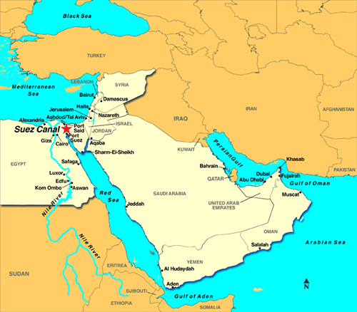
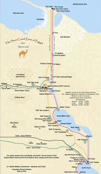
Suez Canal
Today I swam ON the Suez Canal! As I write this I am listening to traffic sounds from an Egyptian highway. Except for the traffic it is a quiet trip as we pass through the canal with African Egypt to port and Asian Egypt to starboard. We started through about 5 AM. I woke up about 5:15, looked out the veranda and saw that the lights in the distance look like they were not moving. Then what looked like a huge barge with an apartment building on it started pass. About that time I realized that it was us, not the buildings that were moving. Suez, as viewed from the canal, is a fairly large city, complete with suburbs.
We spent last night anchored in the harbor at Suez waiting for our time to enter the canal. Where the canal empties into the Red Sea it is one lane traffic and we had to wait for the last southbound ship of the southbound convoy to exit before we could enter. We are number 3 in this northbound convoy.
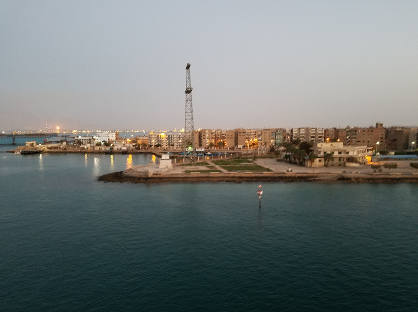
Entering the canal at Suez.
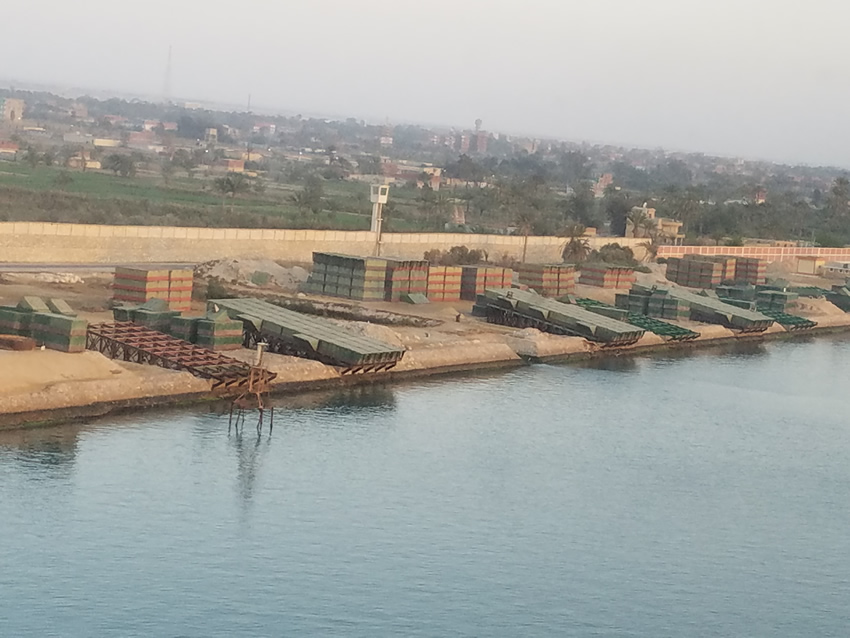
A picture of the structures that can be reassembled to create a pontoon bridge. There is a place to put an engine on them.
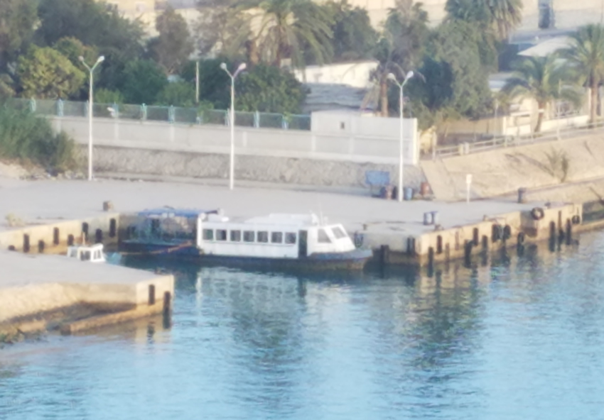
There are also ferry boats to take people across the canal. They have to time their crossings to avoid the ships in the canal.
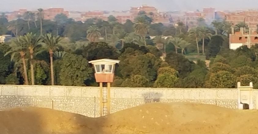
We saw a fair number of these before we reached Bitter Lakes, none after. It is a guard tower and there is someone in there - I saw him with the binoculars.
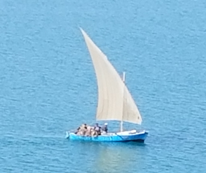
About 9 this morning we reached the Bitter Lakes, then a little later the city of Ismailia on Lake Timsah. In the Bitter Lakes we saw many gaff rigged fishing boats, known as lanteens. They usually had 2 people aboard, and a large pile of nets in the stern. When they were ready to drop the nets, they lowered the sail and used oars that looked like a long piece of wood, with a little wider end for the water.
The Suez Canal is a sea-level waterway in Egypt, connecting the Mediterranean Sea to the Red Sea through the Isthmus of Suez. It’s Red Sea port is at Suez (official name Port
The part of the canal north of the Biter Lakes flows north in winter and south in summer. South of the lakes the ciurrent changes with the tide at Suez. The canal is owned and maintained by the Suez Canal Authority of the Arab Republic of Egypt. By treaty it may be used "in time of war as in time of peace, by every vessel of commerce or of war, without distinction of flag."
Finished in 1869, after 10 years of construction,it is a monument to Frederic De Lesseps, who at the start was a friend of the Egyptian Khedive. For a fascinating story on the politics, and some would say shenanigans, of De Lesseps and his many associates including the Queen of France, read Zachary Karabeli’s book Parting the Desert. Suffice it to say that England did not want the canal, France did, and the British went so far as to send armed Bedouins to start a revolt among the workers, who were part of corvée, a system of forcing citizens to work a given portion of the year for nothing for the Khedive. To add more excitement to the situation, the Head of the Ottoman Empire, of which Egypt was then a part, switched between support and non-support depending on who was the last diplomat he saw; British or French, forcing De Lesseps to spend efforts to placate him.
To shorten what reads like a story of “If the situation could be worse, it would be,” by the time the canal opened it had bankrupted Egypt, and led to the British buying the Egyptian governments share in 1875 and gaining full control of the canal by 1882 .After reading this book I could understand how De Lesseps could believe that he could build a canal in Panama. He had single-handedly found financing by arm-twisting, and sometimes befuddling the facts, as well as managing its construction. What he failed to understand was the difference in geography; Panama is bisected north to south by the chain of mountains that runs the length of both North and South America, and much of Panama is impenetrable jungle.
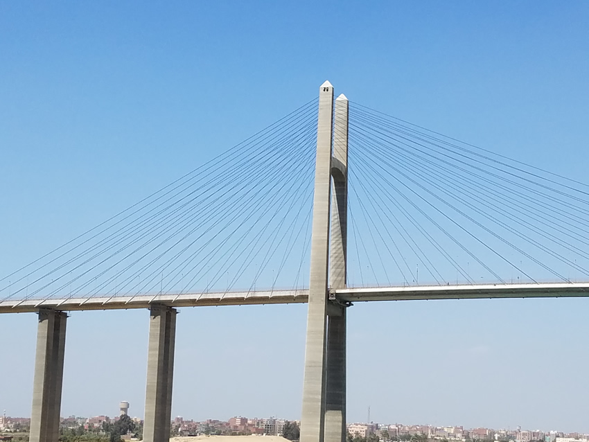
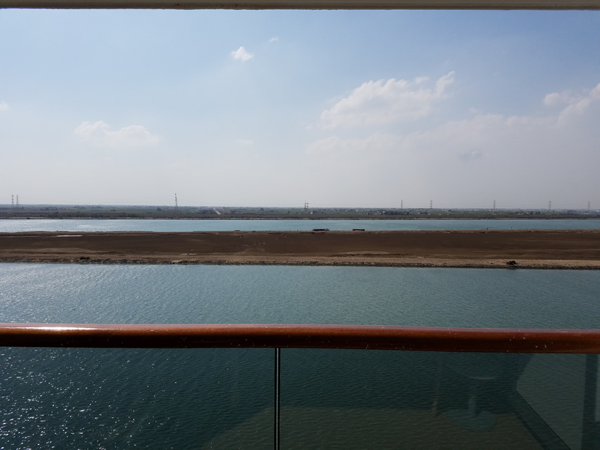
There were also several bridges across the canal. This was the prettiest. One that used to be the longest swing drawbridge was made useless by the new canal, which is simply another canal that is easily visible from either as you can see below. That line on the bottom is the top of the glass on my veranda.
The Statue of Liberty that sits in New York Harbor was created by its sculptor, to be placed at the Mediterranean end of the canal. It was refused because the canal fathers said that it was too expensive, and hence donated to the U.S.A.

And so we leave the canal behind and sail into the Mediterranean with a cold wind! I think that our tropical days are behind us.
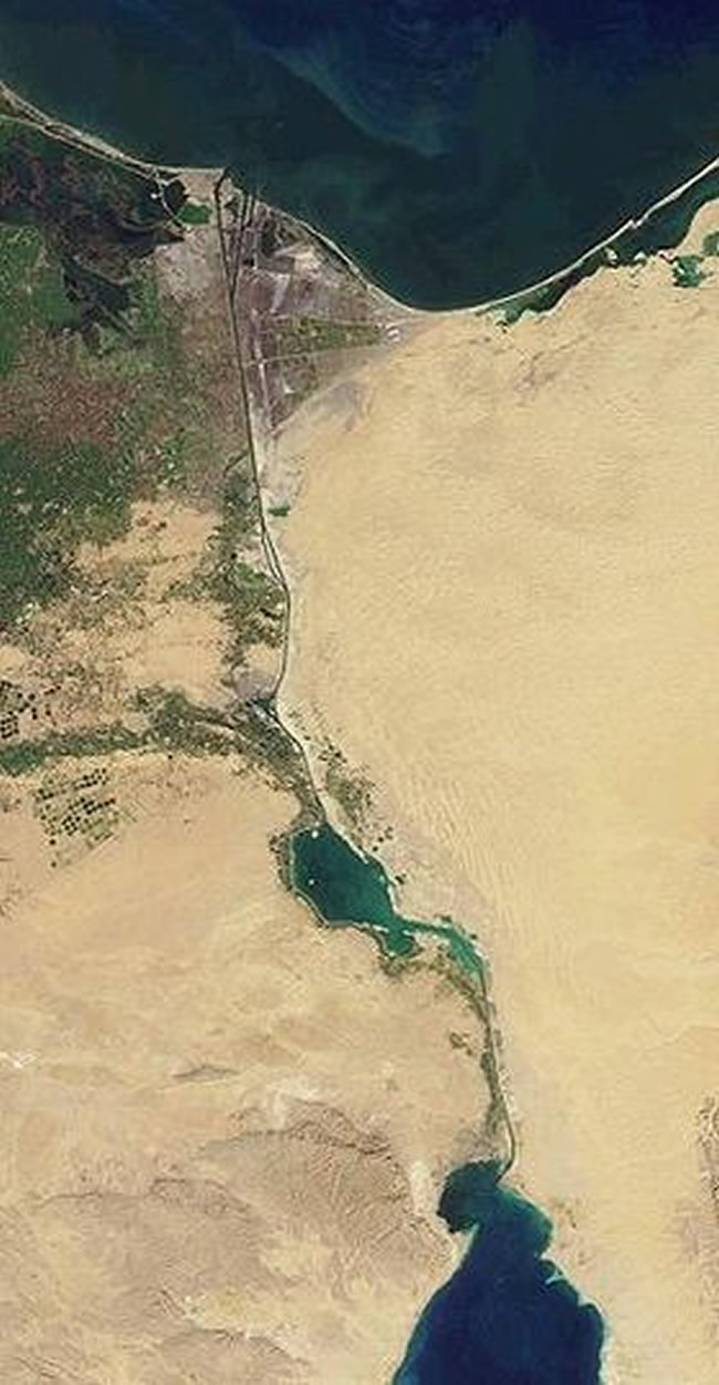
Just to give you an idea, of the landscape, I took this topographical picture from Wikipedia Suez Canal. Notice the thin line of green near the canal. This is where it is irrigated.