Funchal Madeira (Portugal) April 18
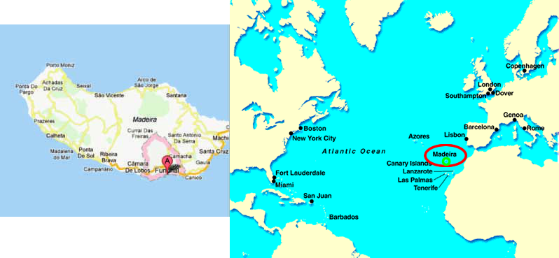
The Madiera islands are located in the north Atlantic Ocean, 500 miles southwest of Portugal. They arise from an Atlantic trench running up the African coast that includes not only the Madeiras, but also the Canaries, the Azores, and the Cape Verde Islands. The islands are volcanic in origin although there are no active volcanoes today. There are three islands Madeira, Porto Santo, and the Desertas, which are administered together with the separate archipelago of the Savage Islands as part of the one of the two autonomous regions of Portugal. The other is the Azores.
I have not seen the other islands, but the steep mountains and peaks of Desertas are visible from Madeira. The soil on Madeira is fertile, terrace farming is done on terraces that have fairly high rises between them. Grapes, the famous Madeira wine is made here, are the main crop. There is a relatively flat area high in the island. (We did not see it.), outside of that, the island is one set of “hills” after another. And beautiful!!
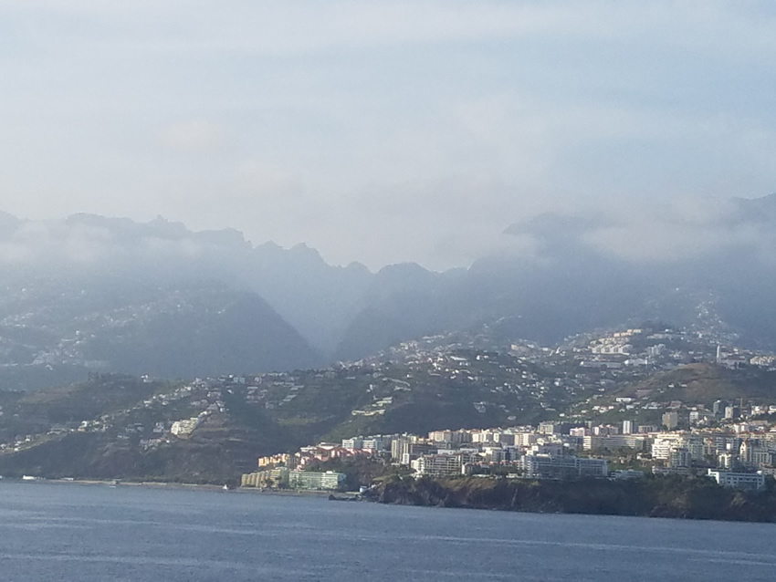
This gives you some idea of the countryside! Taken from the ship as we started our trip home.
Steaming into Funchal on Madeira Island in the morning was a beautiful experience. With daylight time the sun did not come up until 7:30 so at 6 AM when we entered the harbor, there were lights all over the hills and the roads that curve up the mountain were also lighted. I don’t know if each house must have a light or what, but the scene was like a fairyland.
This is a VERY beautiful island, perhaps one of the most beautiful in the world. In many places the cliffs come down to the ocean, Of course all of this presents magnificent views. Taking advantage of these is weather dependent as we found when we arrived at Cabo Girao, the highest seacliff in Europe. A light fog had set in giving any picstures a misty look.
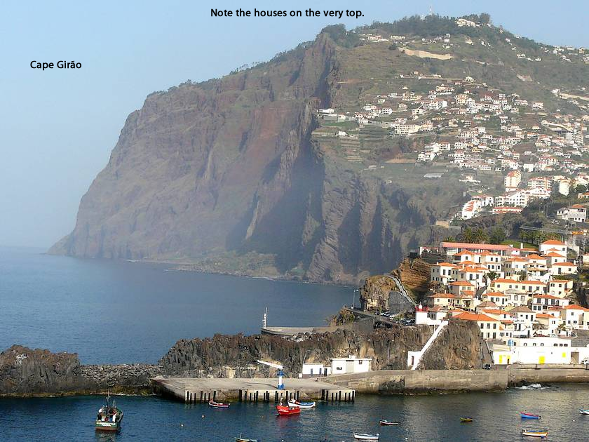
i stole this - did not take it! But this peak is there!
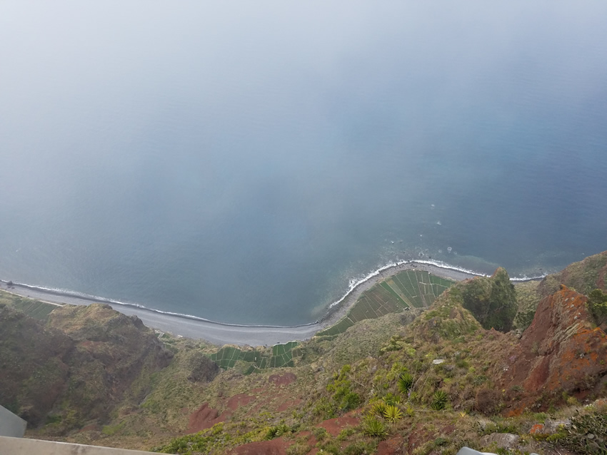
As if the viewing area is not high enough, there is a glass platform that goes out over nothing...and below is a picture from there.
Madeira is the largest of the chain known as the Madeira islands. Only two are occupied, Madeira and Porto Santo. The third, Desertas, is a nature reserve for which a license is required to land. The capital of the Madeira Islands is Funchal, where we docked. Funcal is located on the main island's south coast. Madeira’s total population was estimated in 2011 at 267,785.
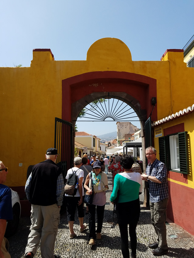
A street in Funchal looking through the entrance to the 1614 fort.
Interestingly, it was Port Santo that although smaller was discovered first. It was discovered as a result of a storm in 1418 that drove two Portuguese ships off course to this island. They gave it the name Porto Santo (Holy Harbor) in gratitude for divine deliverance from a shipwreck.
Not to let a discovery go unclaimed, the following year, an organized expedition traveled to the island to claim it on behalf of the Portuguese Crown. The new settlers observed "a heavy black cloud suspended to the southwest." Their investigation revealed it to be the larger island they called Madeira. The first Portuguese settlers began colonizing the islands around 1420 or 1425. Unlike so many other places we visited, there were no prehistoric inhabitants, making the Portuguese the very first humans to settle here.
The primary business here is tourism. The government has spent the last 20 years building roads (narrow, curvy, and hilly) to accommodate the hoped-for tourists. Staying here could be interesting and full of spectacular views if you had the courage to drive; the curves in many place are almost hairpin curves, and seeing around the rocks that are on one side of the road is not easy. But it sure makes for great views.
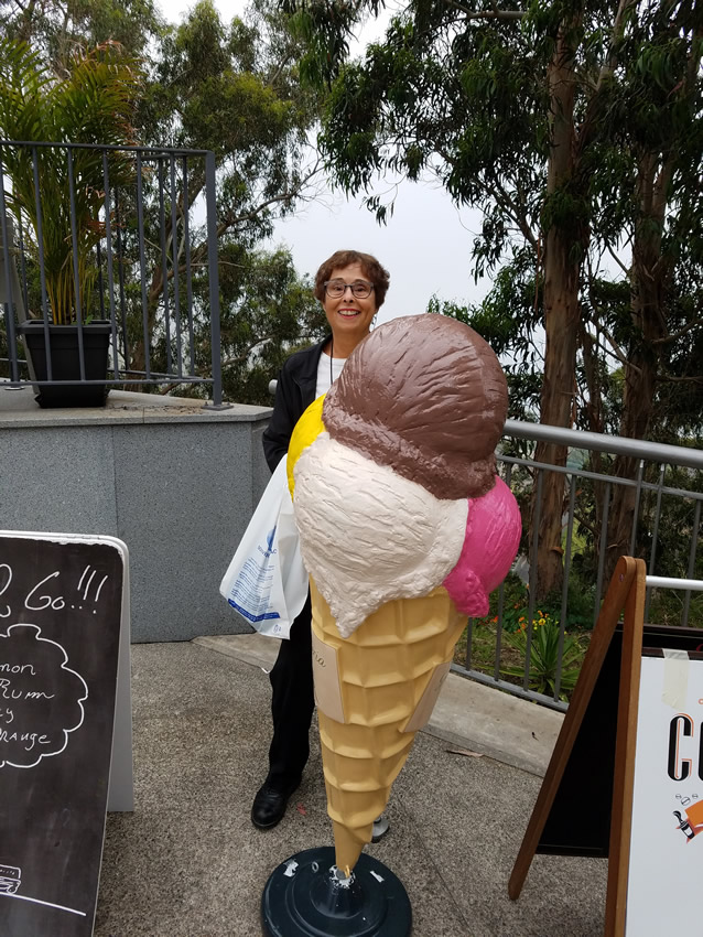
And there was always time to clown around behind a big ice cream cone...
The majority of Madeiras visitors arrive on cruise ships. There are, however, many hotels. High season here is the winter months and most of their tourists are Germans and British. It is not the easiest place to get to; they do have an airport, but it is limited in the size of plane that can land. Part of the runway is a bridge over the water with a mountain on one side.
One of the features of the island is their flowers.
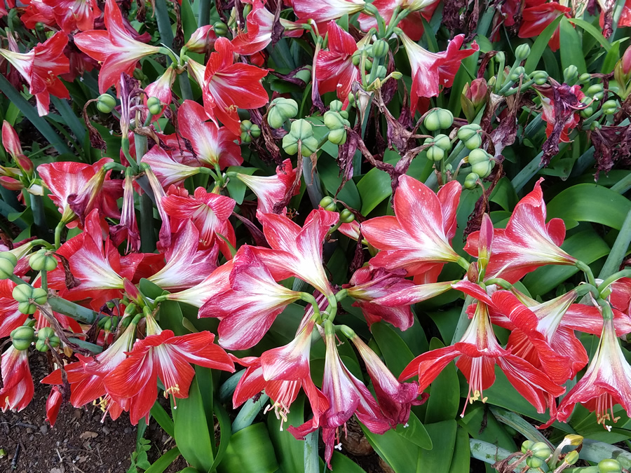
There are many different species of vegetation here including the kapok tree, that used to supply the stuffing for life jackets. The flower for which Madeira is noted is the bird of paradise. There are also jacaranda trees, wisteria, and loads of bougainvillea. Poinsettias grow here and can grow to tree height proportions. We saw one in passing, but it was too quick to get a picture. Suffice it to say that there were poinsettias all over that tree making it flaming red.
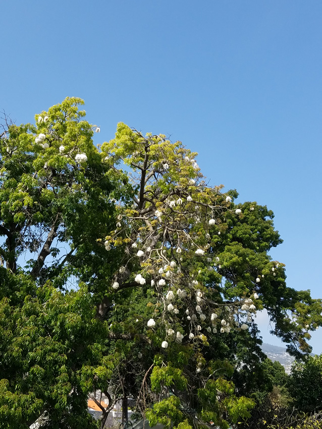
Yes, those funny white things hanging down are kapoc.
The Portuguese maintained control here until 1801 when the British invaded, but withdrew in 1802 and again reoccupied it in 1807 until 1814. Since then the island has been firmly Portuguese. Except for a brief bombardment by a passing German U-Boat in WW I, it escaped both wars. Portugal was neutral in WW II and the islands are hardly strategic.
No visit to Madeira is complete without a visit to a local Madeira winery and we made the obligatory stop where we sampled two types of Madeira.
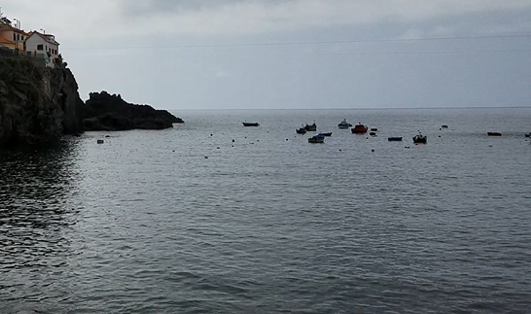
The next stop was Camara de Lobos (way of the wolves), a setting that except for all the houses lining the hills, made us all think of Port Wen of the Doc Martin series. Winston Churchill used it as a scene for painting on his visits to the island.
There are cliffs on the other side too and the boat launch area is slanted just like in Port Wen.
A Fort was built in 1614 to protect the island from pirate attacks which as the island increased in prosperity became too frequent. The pirates were not only after “loot,” but slaves. We had our final tour lunch there in a room decorated as if a wedding was going to occur.
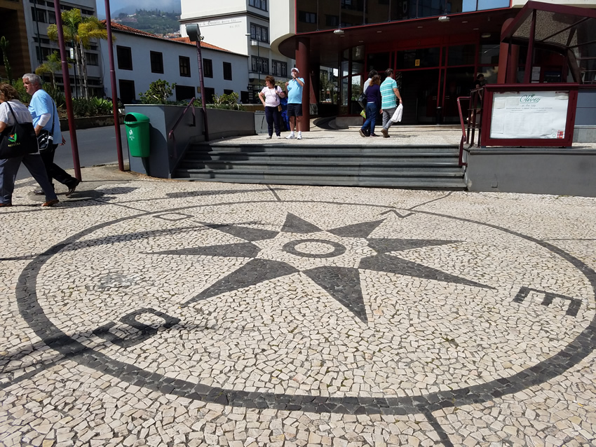
In many places the sidewalks are paved in a design such as the compass rose below.
So this wonderful trip ends and we head 2500+ miles back across the Atlantic to Fort Lauderdale.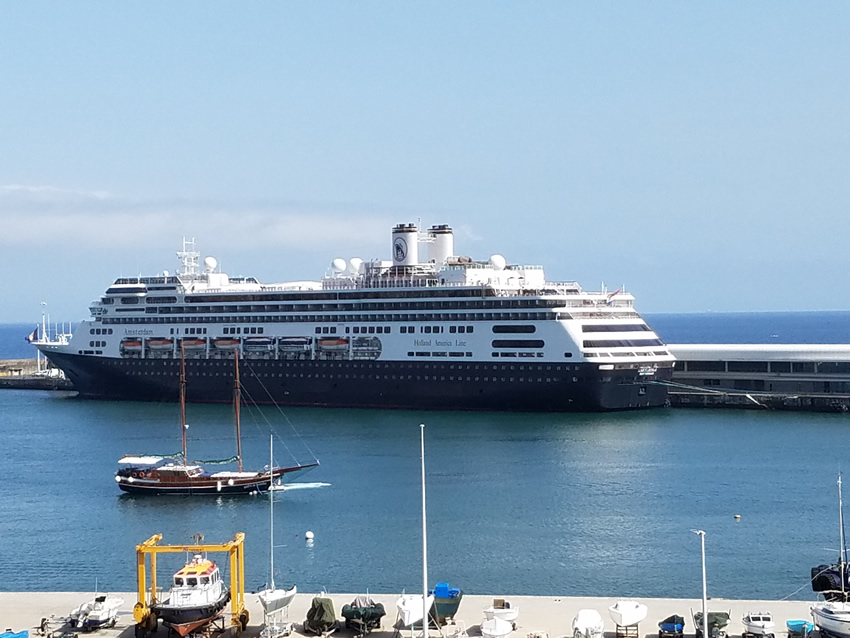 miles .